Mapbox - Procedural Trail Map "Grand Canyon National Park"

Objective:
Create a procedural trailmap generator for geometry imported from Mapbox ( Grand Canyon National Park)
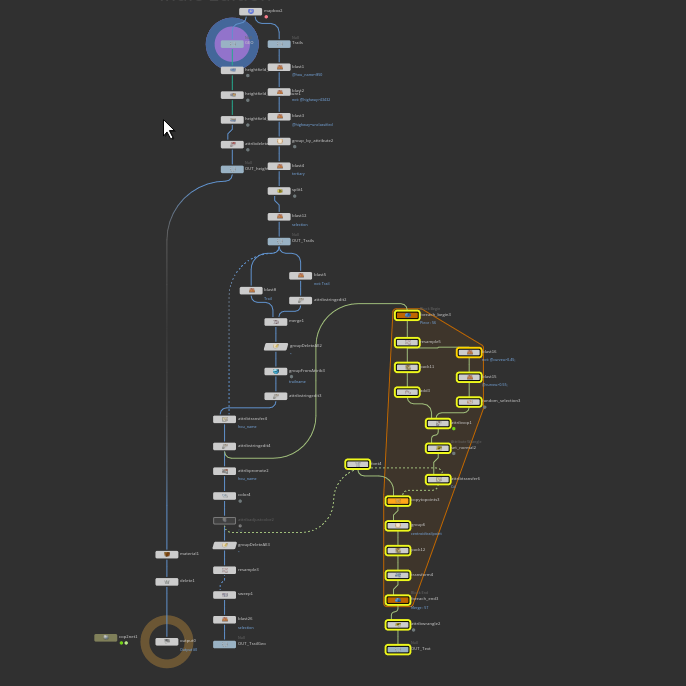
Geo Design:
Import geo and trail info using mapbox ( API Token )
Use Group-by to cull non-trail data
Clean and adjust string data of geometry ( Find and Replace )
Use heightfield tool to create flowmaps
Color trail and name of trail the same for continuity using For-Each Attribute ( Name Attribute )
Compositing Design:
Use edge detection and heightfield masks in compositing, Sobol and Marr-Hildreth to encode information into map
Color and blend different flowmaps
Use normal data in compositing to add shadows to the southern facing geometry
Add subtle noise to breakup color
Darken and lighten different areas for overall map look
Execution:
Take aways:
While I am not a cartographer, my recent experiences have deepened my appreciation for maps, especially those designed for utility—be it for hiking, detailing river paths, or offering any other essential insights for travelers to navigate terrains. The challenge of balancing detail with clarity is evident; minor adjustments can inadvertently affect legibility. Taking on The Grand Canyon National Park as my inspiration was both enlightening and daunting, given its extensive trail networks and wealth of data. The uniqueness of this map stands out; I've yet to come across another that encompasses both the Northern and Southern Rims and showcases all hikeable trails.
Future Todos:
Trail length, elevation change, campgrounds, emergency phone/first aid, bathrooms/toilets, drinking water, and ranger stations
Selected Works

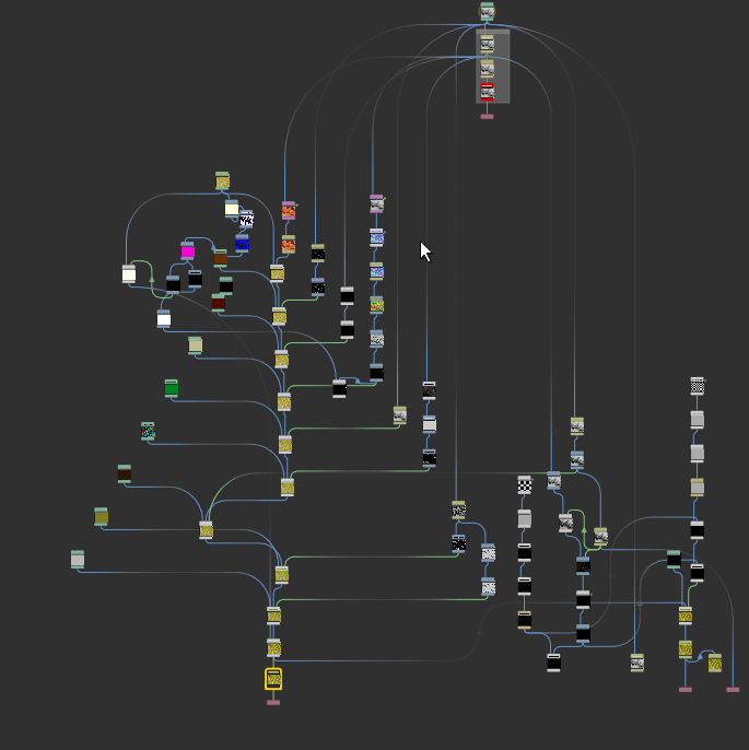
Procedural ForcefieldPop & Ripple Solver - FX Setup
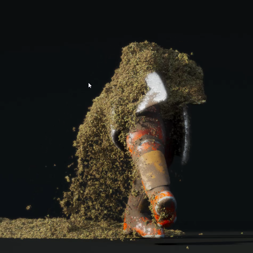
Wet Sand ManVellum Grains - FX Setup

PrimUVVEX - FX Setup
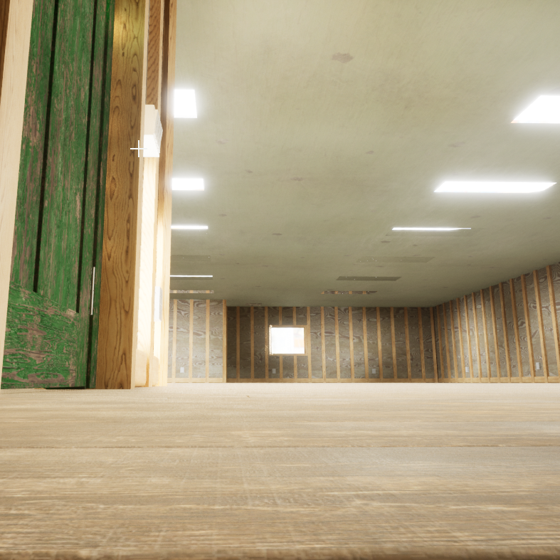
Workshop GeneratorProcedural Building Tool
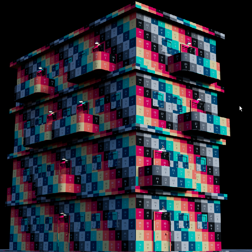
Building GeneratorProcedural Building Tool